Howe Sound Crest Trail

OLYMPUS DIGITAL CAMERA

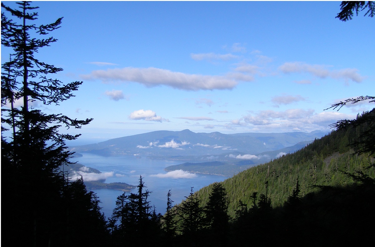
The Howe Sound crest Trail is located in Cypress Provincial Park, West Vancouver. The trail is approximately  twenty nine kilometers in length and runs from the Cypress Bowl ski area to Porteau Cove. It is recommended that if you are planning to do the whole trail, to do it as a two day over niter.

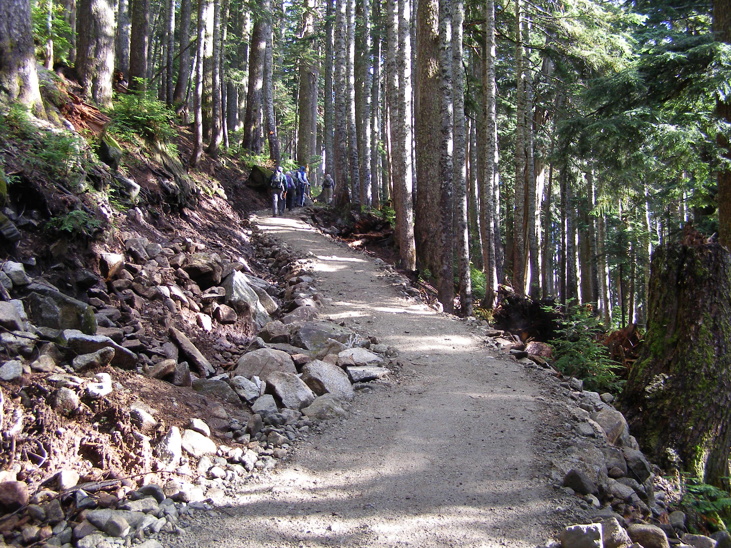
The trail as far as St Marks Summit has become a very popular day hike and at times can be very busy.

OLYMPUS DIGITAL CAMERA          OLYMPUS DIGITAL CAMERA

OLYMPUS DIGITAL CAMERA           OLYMPUS DIGITAL CAMERA

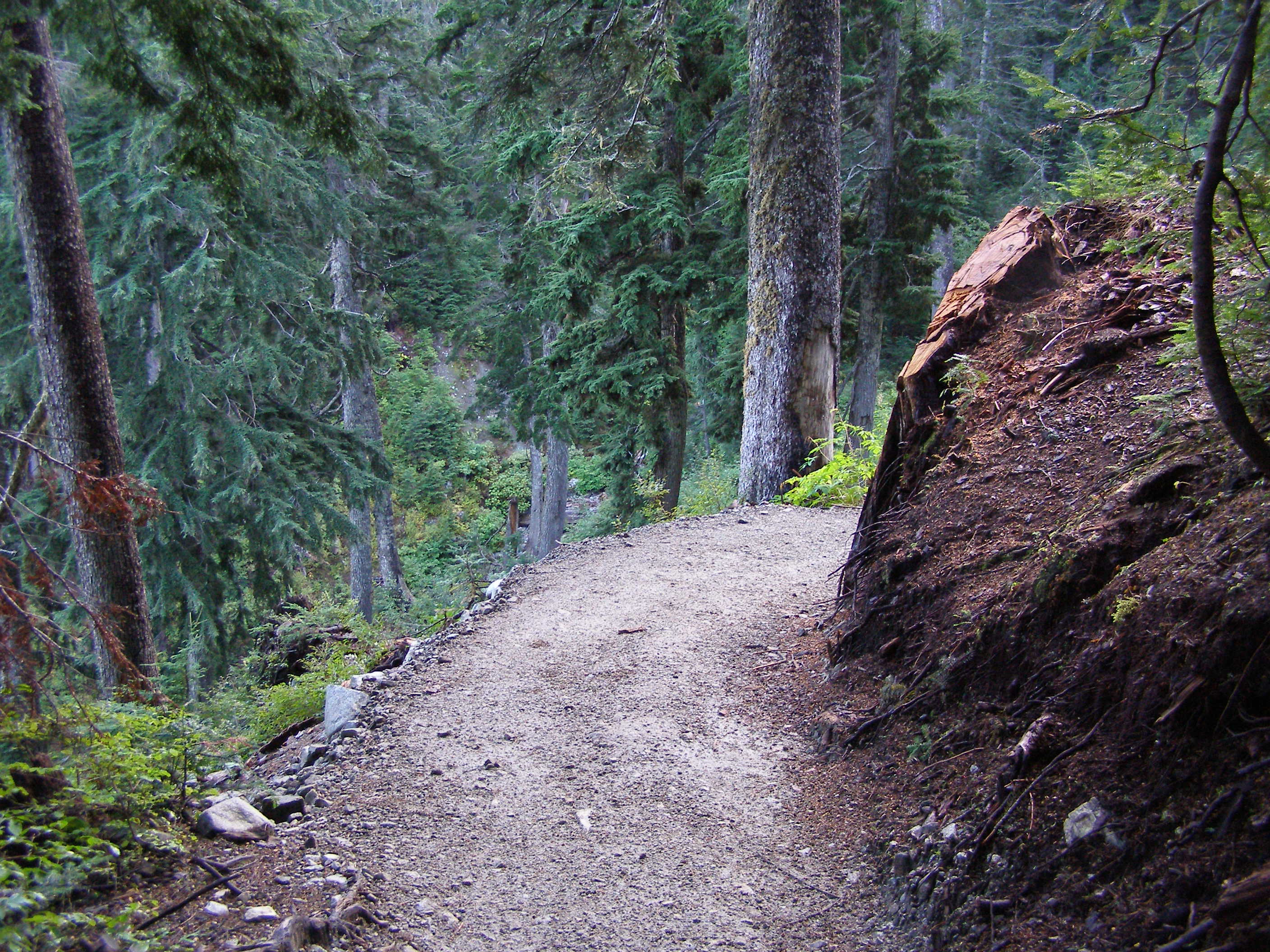
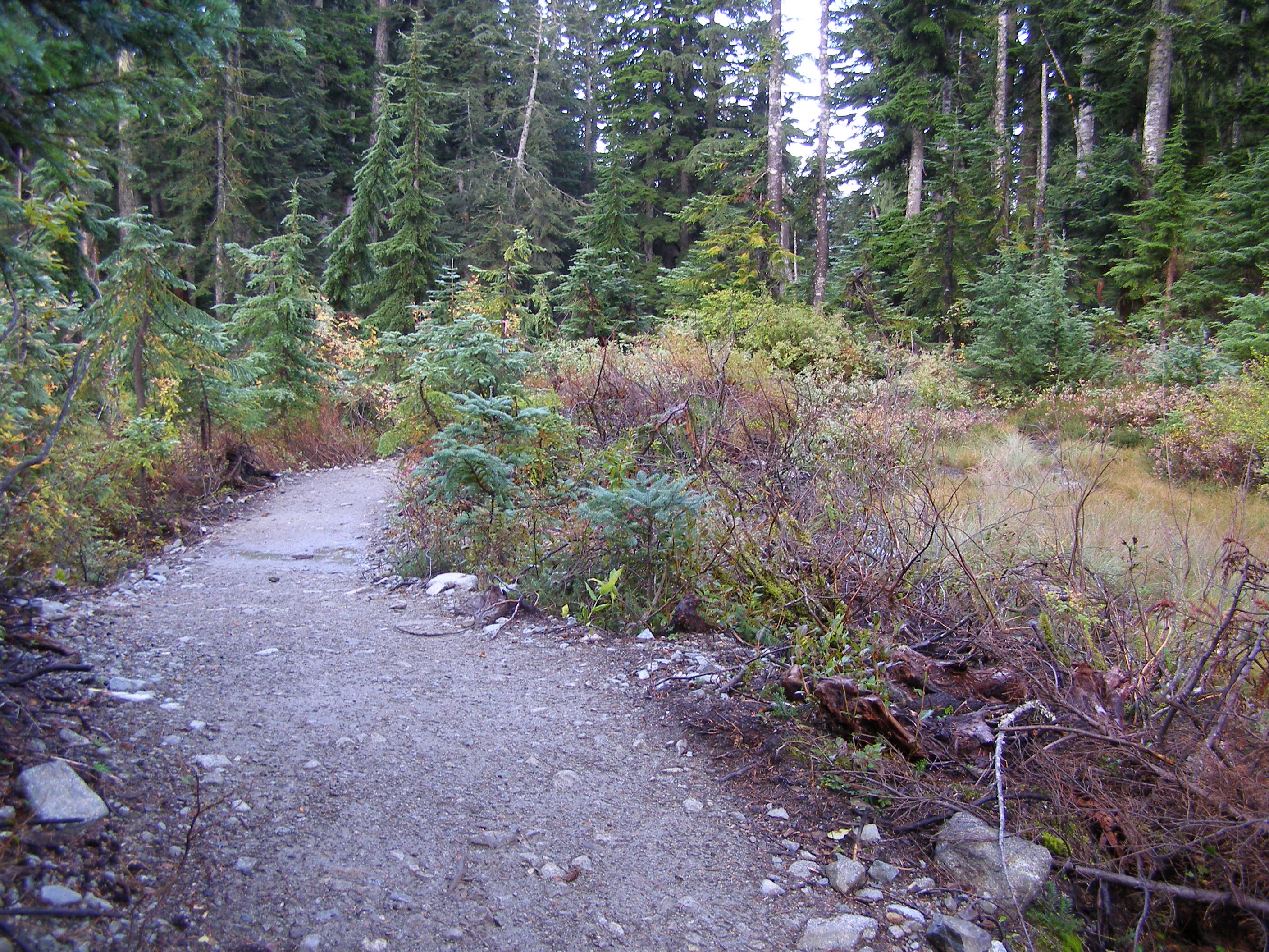
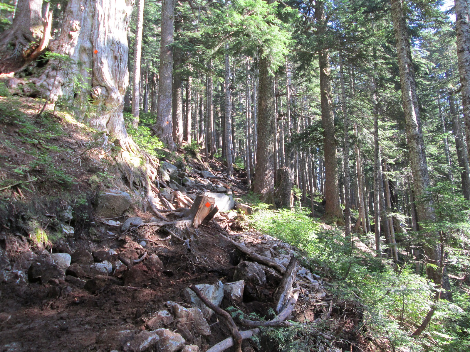
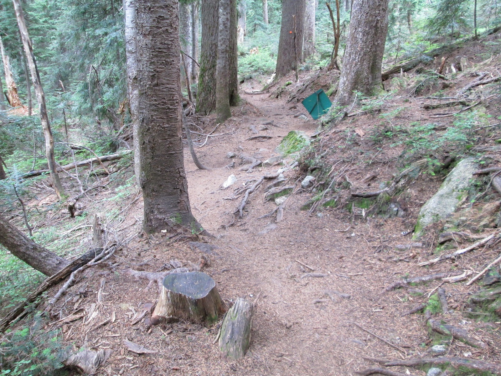
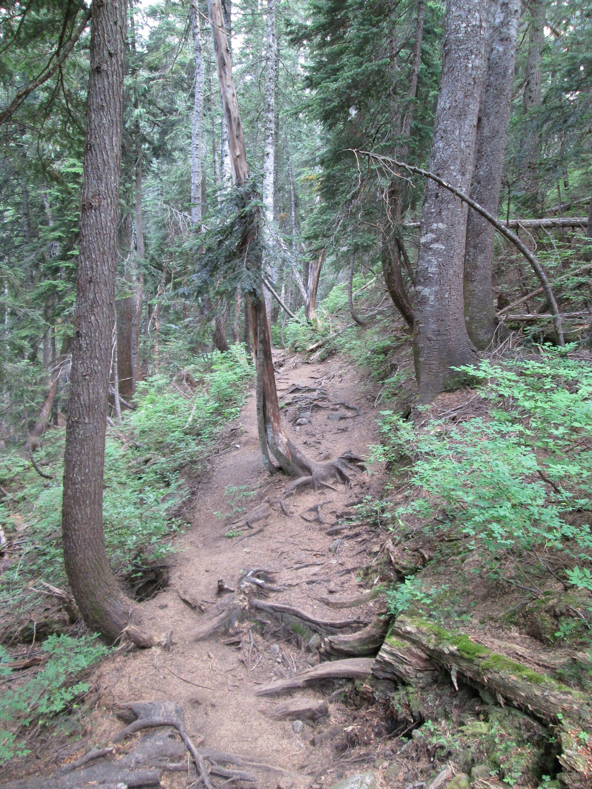
Due to weather,yearly snow melt and increased user traffic over the years, the trail has become increasingly eroded, causing rain and run off to course directly down the trail expediting the erosion process.

St Marks SB LU  #1           St Marks SB LU #3

Due to erosion, and significantly increased user traffic, B.C. Parks decided to repair and up grade the trail from Yew Lake to the summit of St Marks

LD @ St Marks SB #1            LD @ St Marks SB #1A

The Howe Sound Crest Trail has been a B.C. Parks work in progress since 2009, with much support from” The Friends of Cypress”. Rare Earth began working on the project in 2011, commencing operations at Montazambert Creek and progressing to “The Climb” up St Marks.


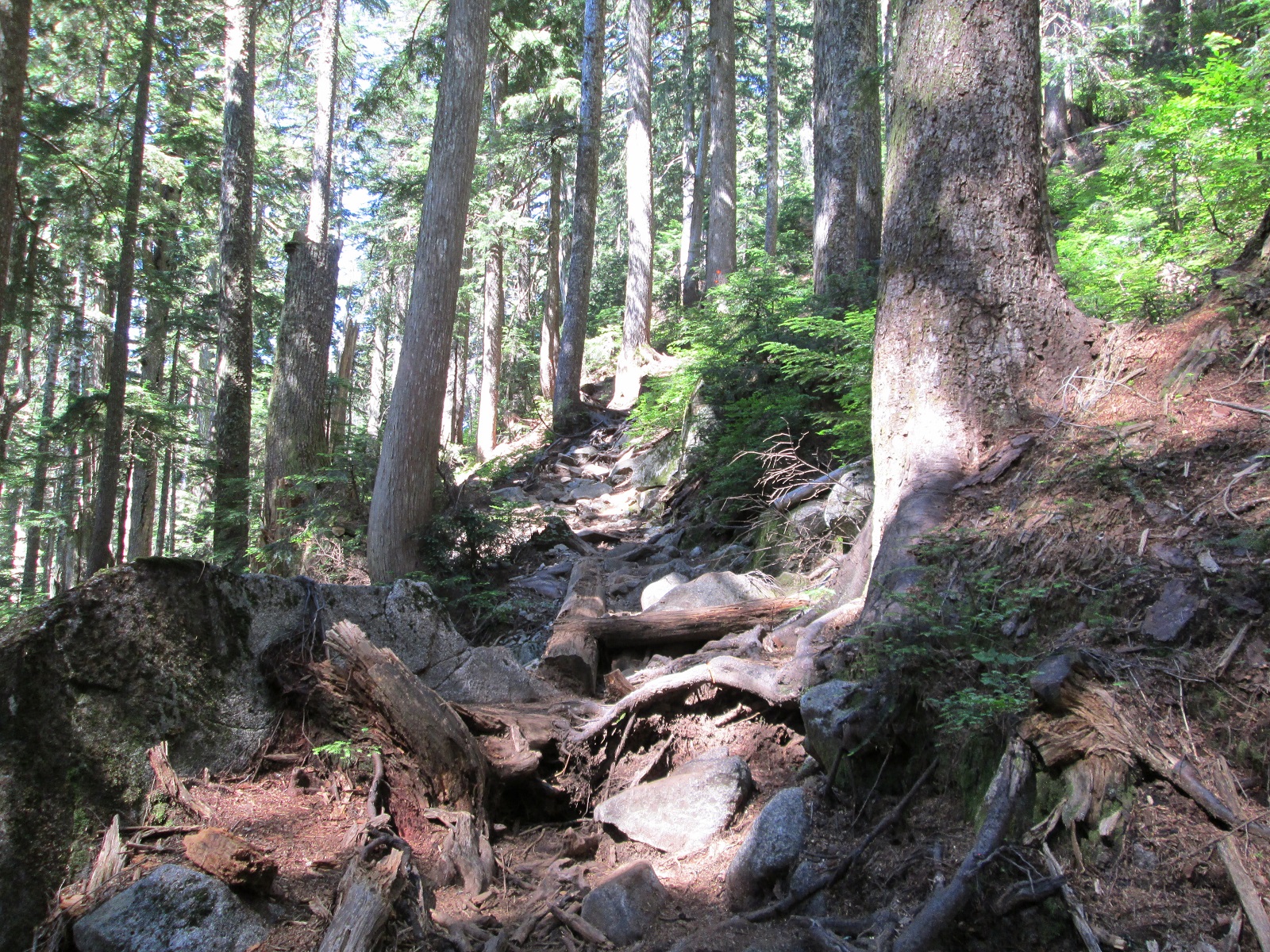
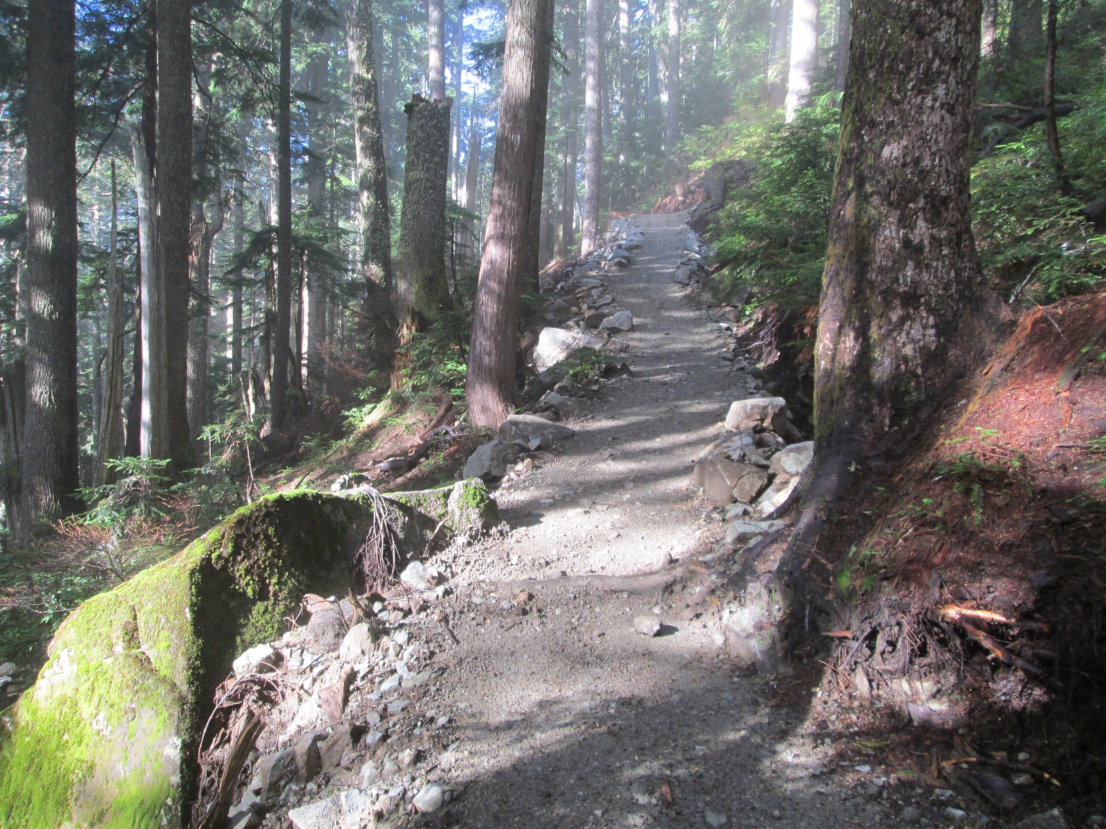
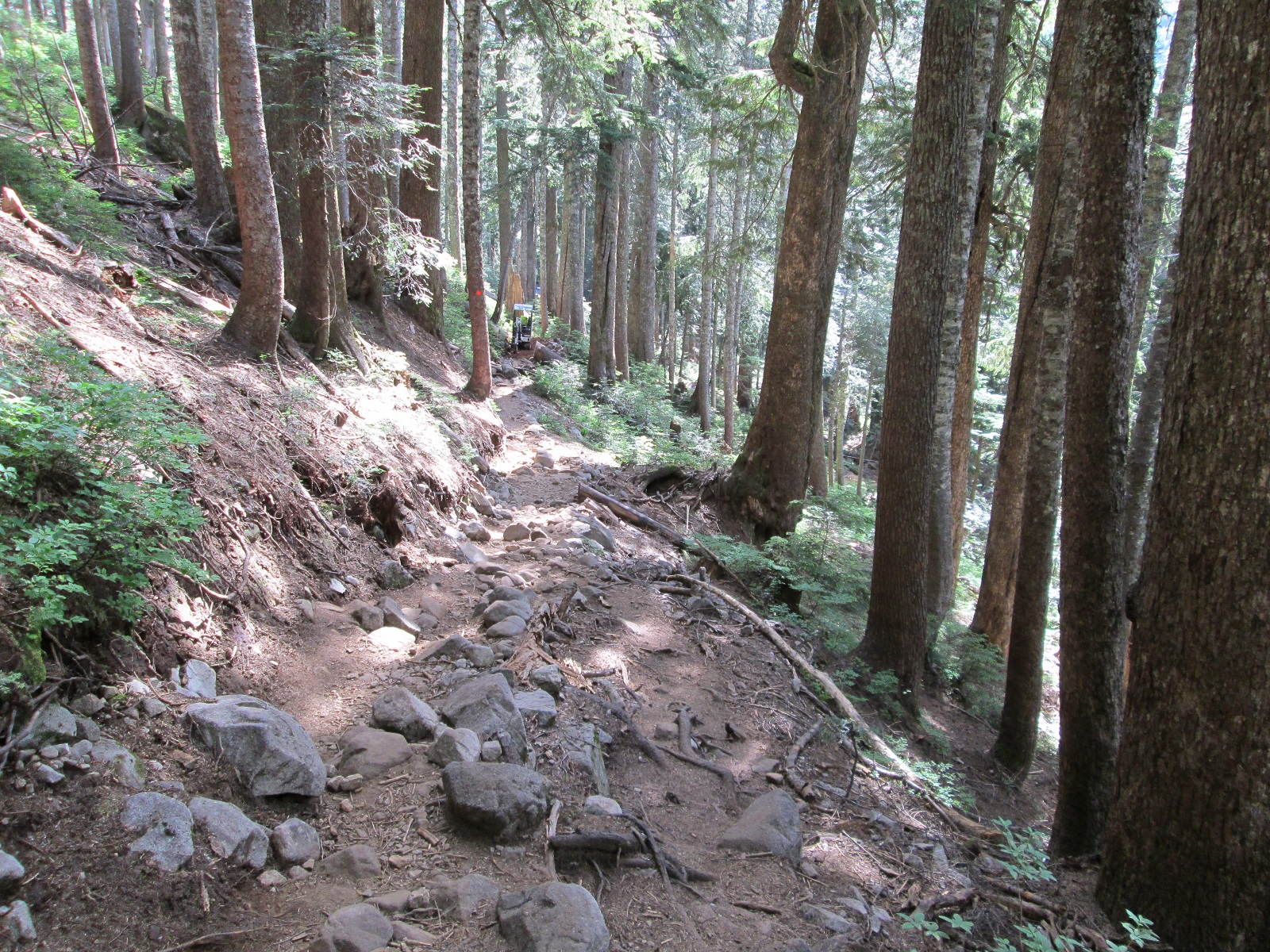
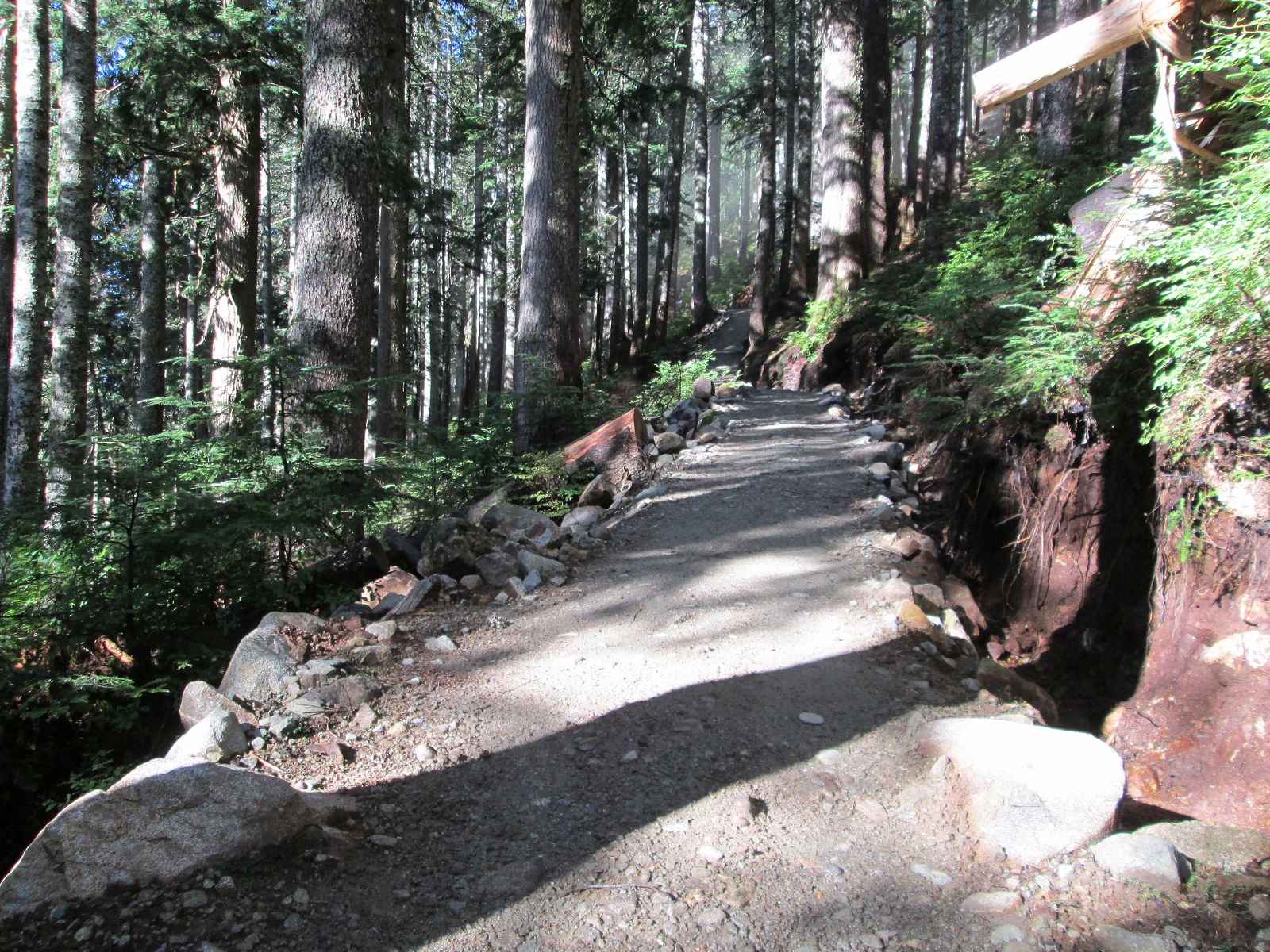
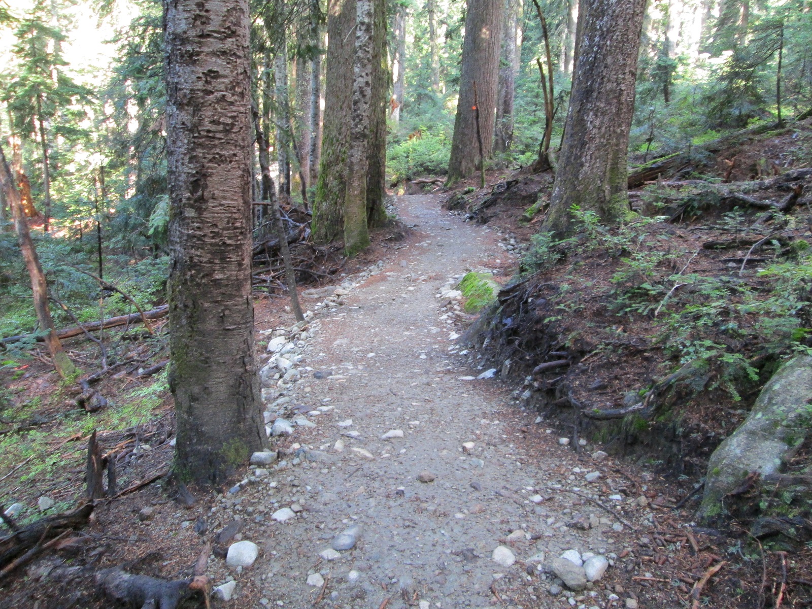
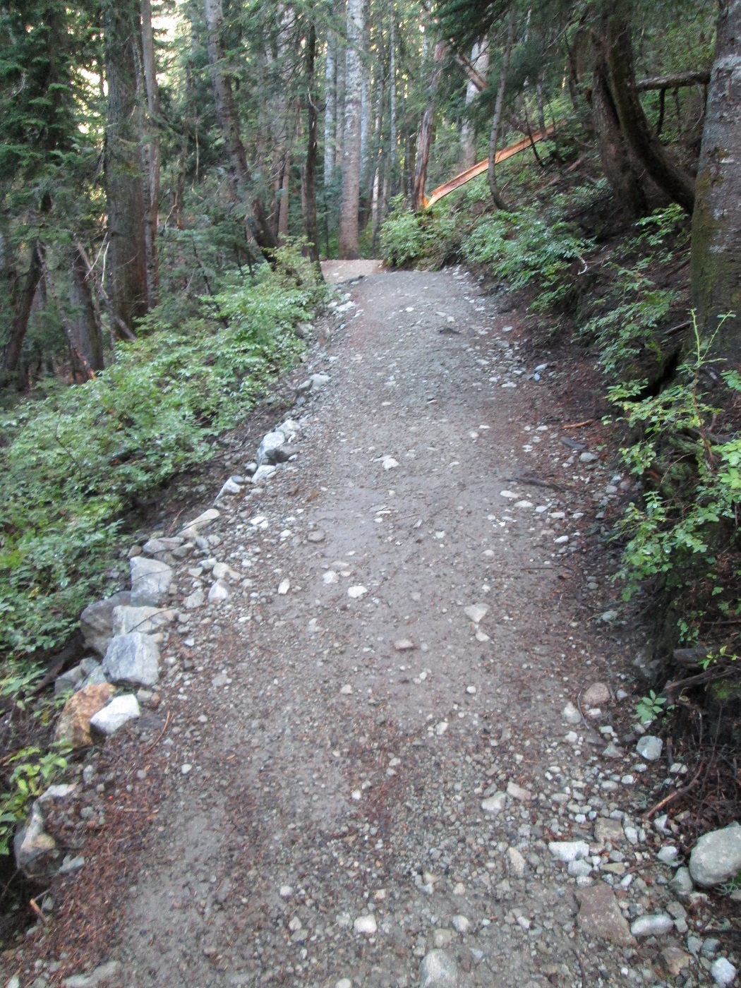
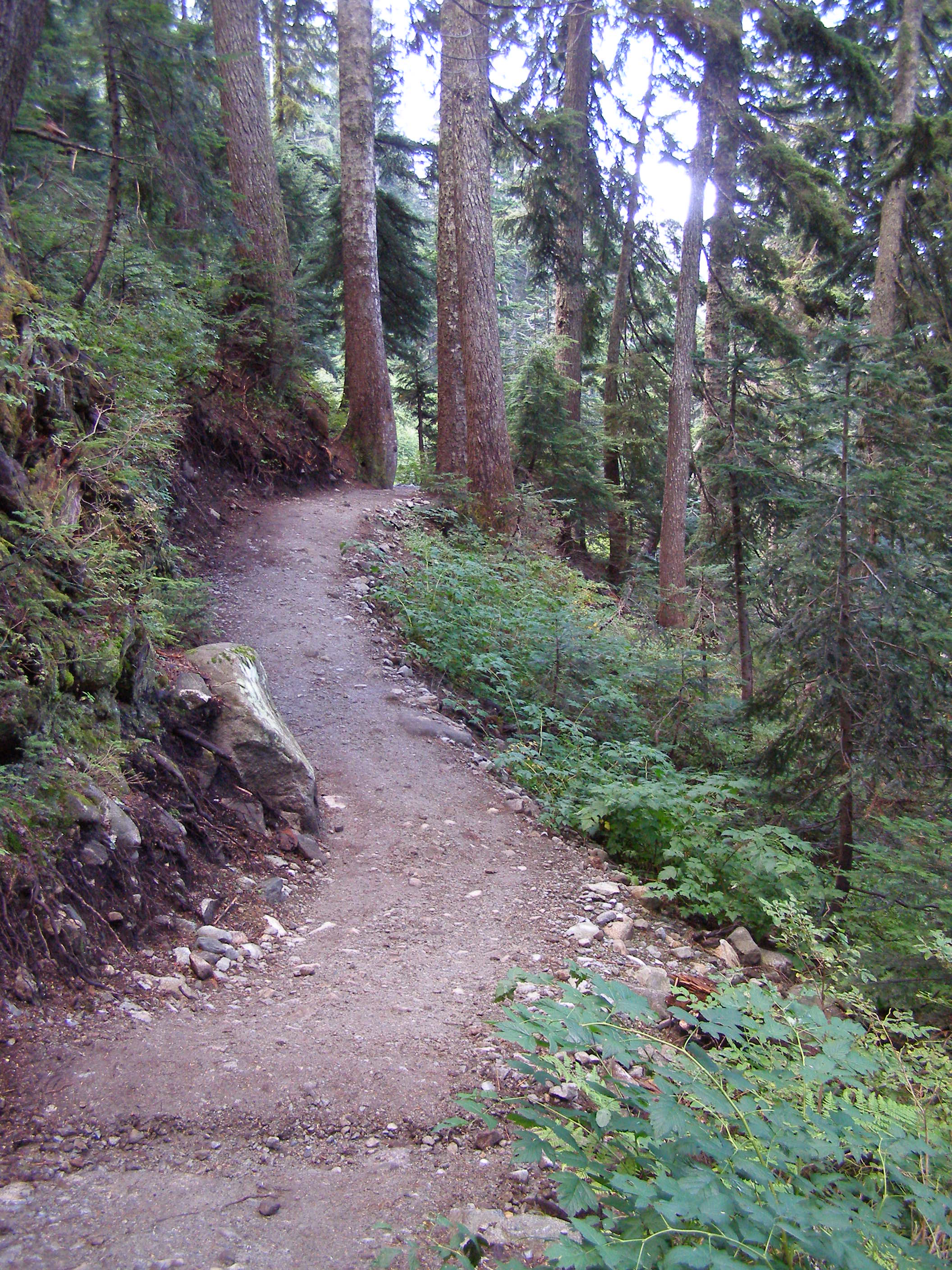
Looking up from the first switch back on St Marks

St Marks SB LU  #1            St Marks SB LU #1A

Before                                                                             & After

St Marks SB LU #3             St Marks SB LU #3A


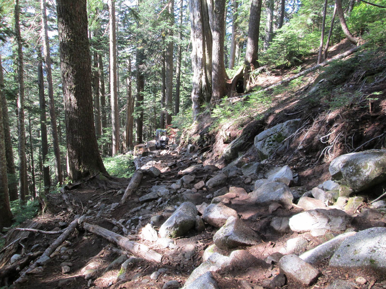
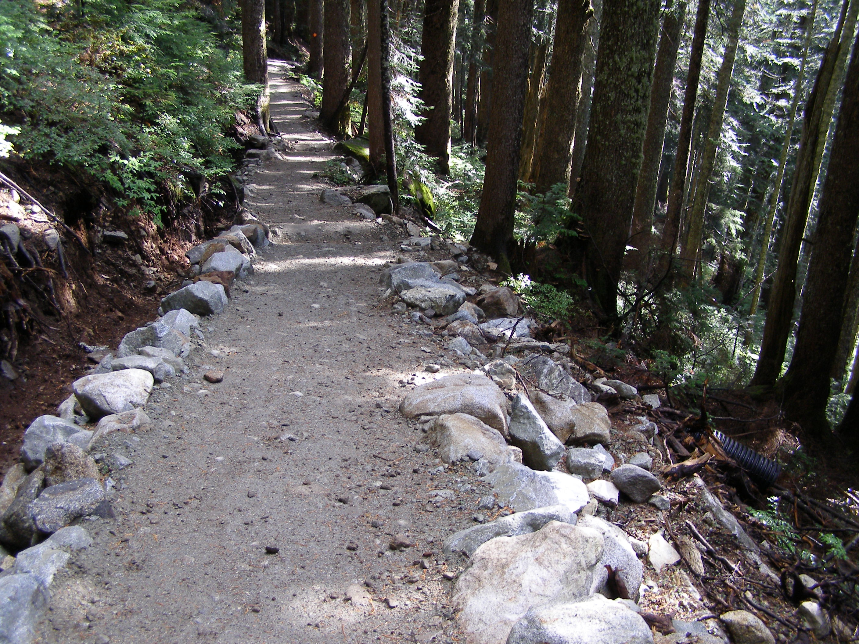
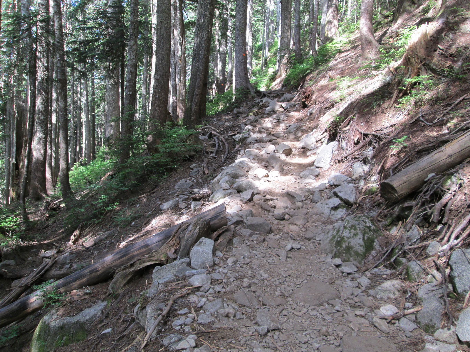
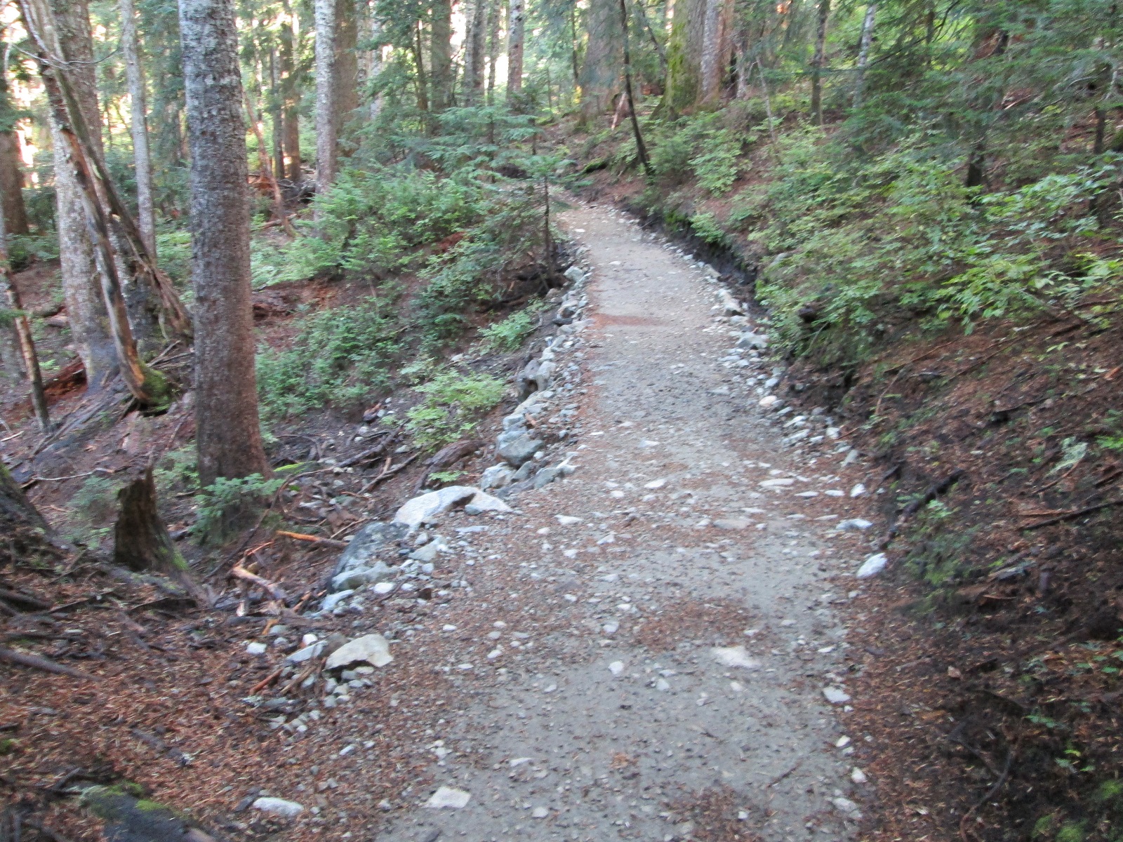
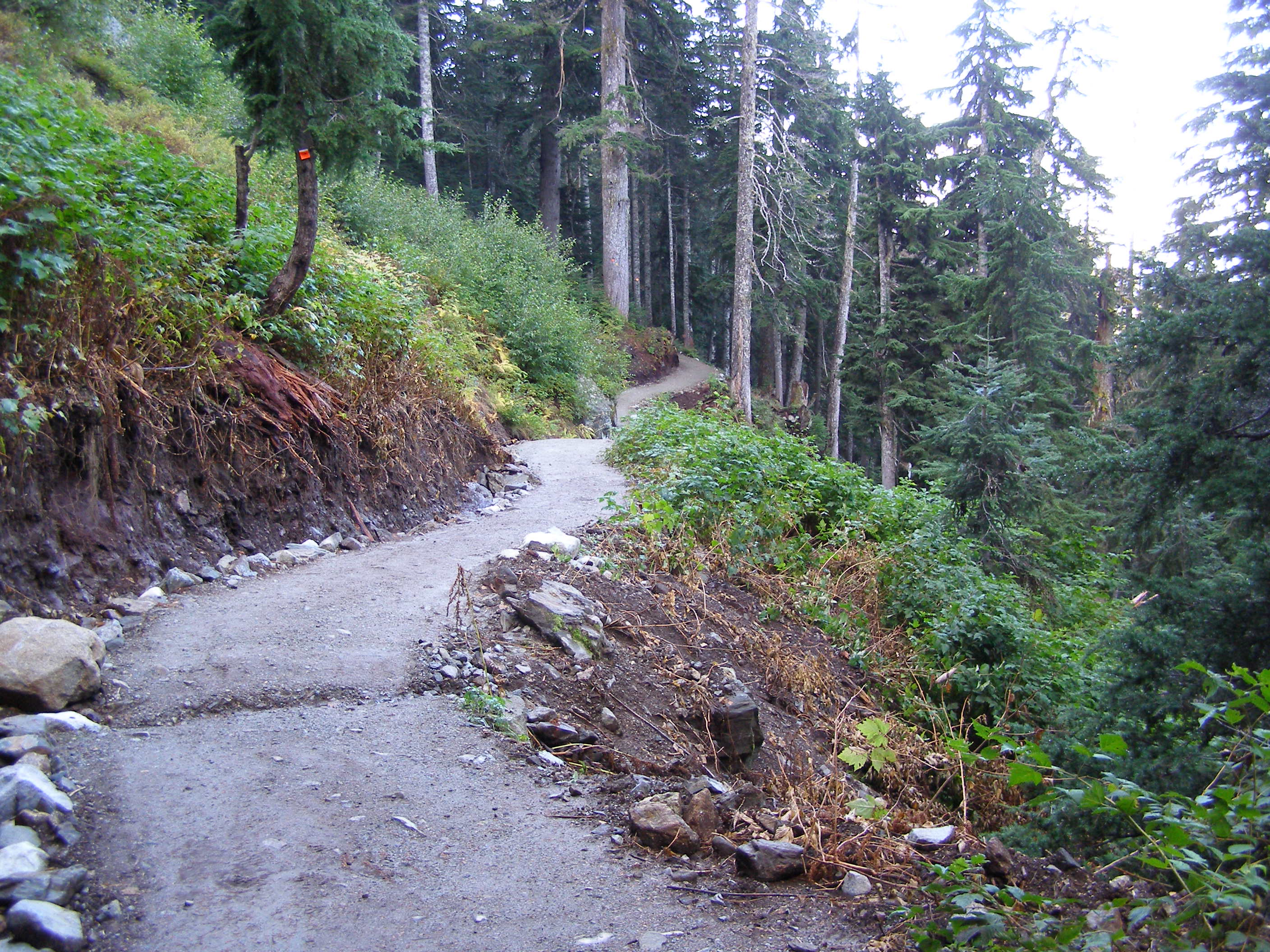
Looking up at St Marks first switch back

LLU @ St Marks SB #4            OLYMPUS DIGITAL CAMERA

Before                                                                       & After

LLU @ St Marks SB #5             OLYMPUS DIGITAL CAMERA

LLU @ St Marks SB #1            LLU @ St Marks SB #1A


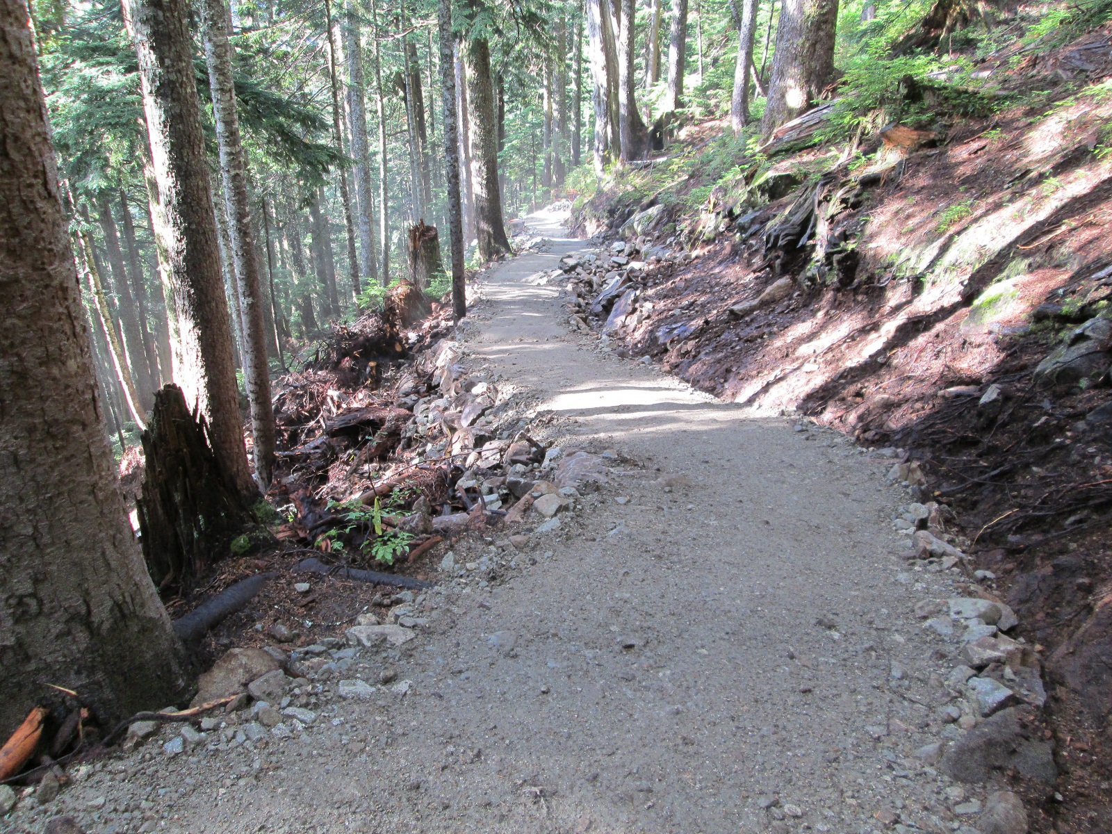
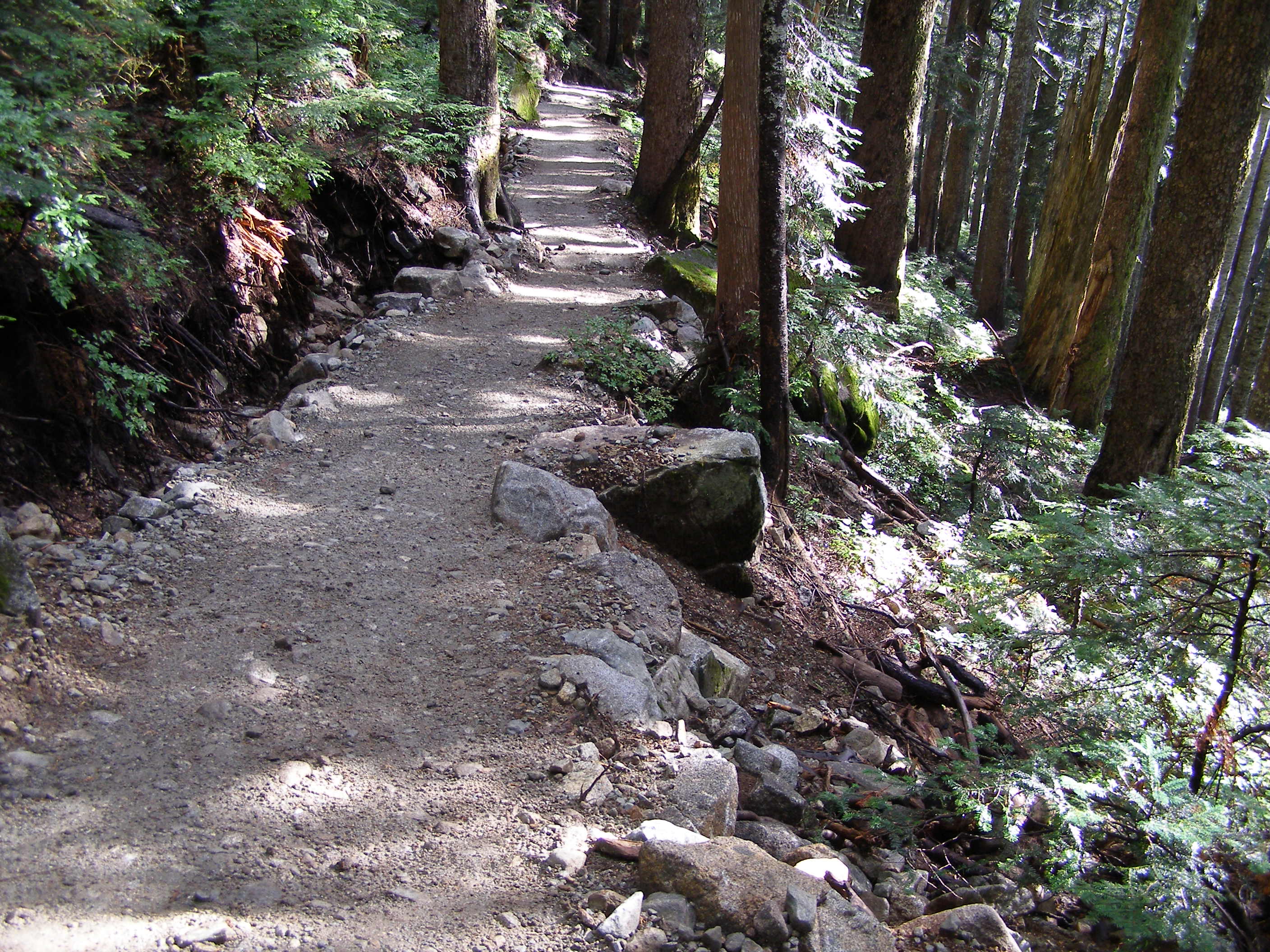
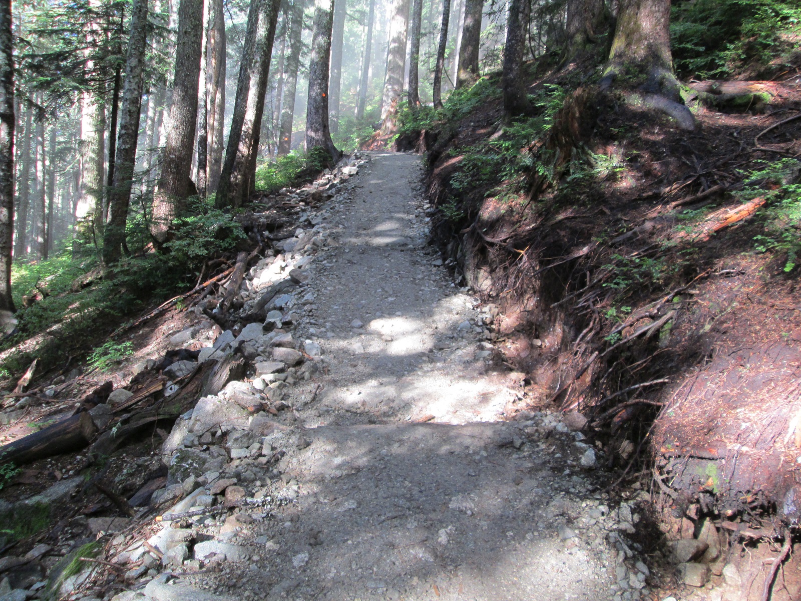
Looking down from St Marks first switch back

LD From St Marks SB #3            OLYMPUS DIGITAL CAMERA

Before                                                                      & After

LD From St Marks SB #1           OLYMPUS DIGITAL CAMERA


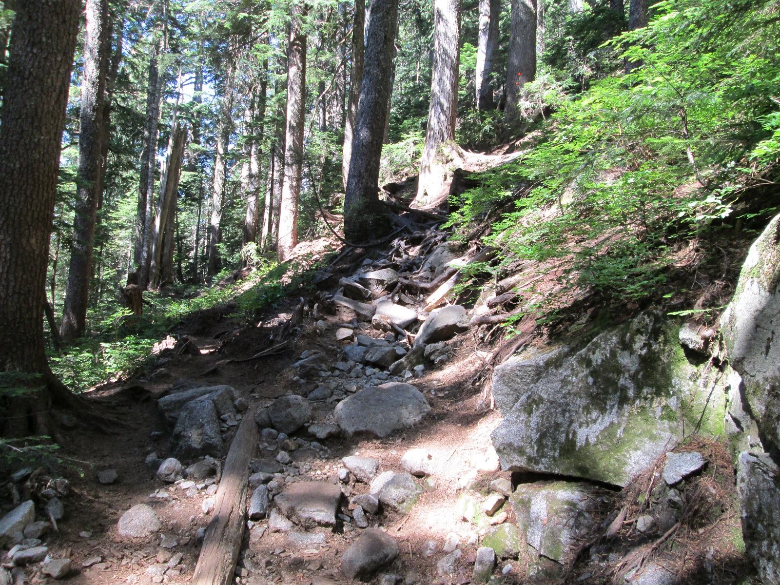
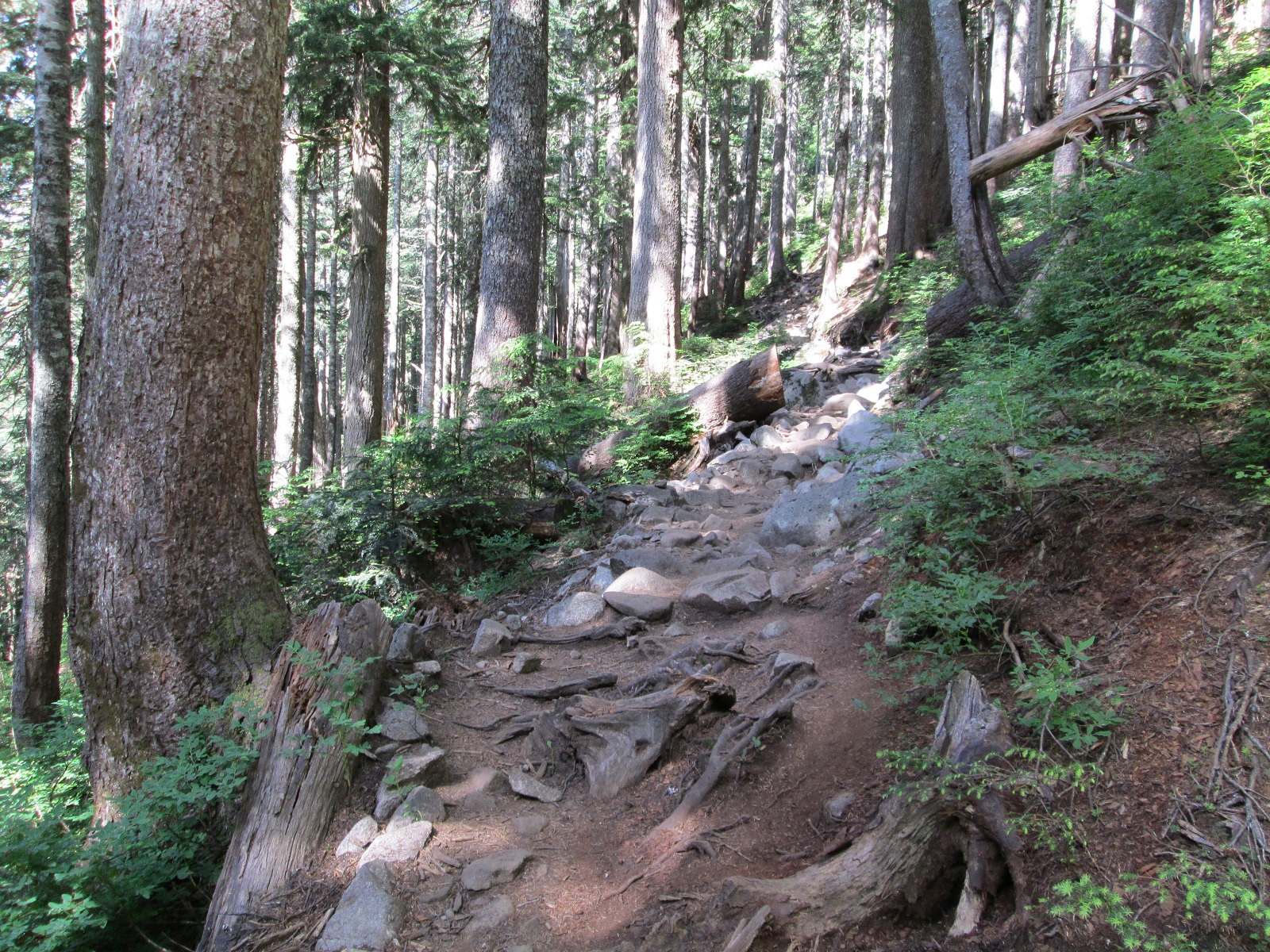
“The First Pitch”  looking down

The Pitch LD #3           OLYMPUS DIGITAL CAMERA

Before                                                                             & After

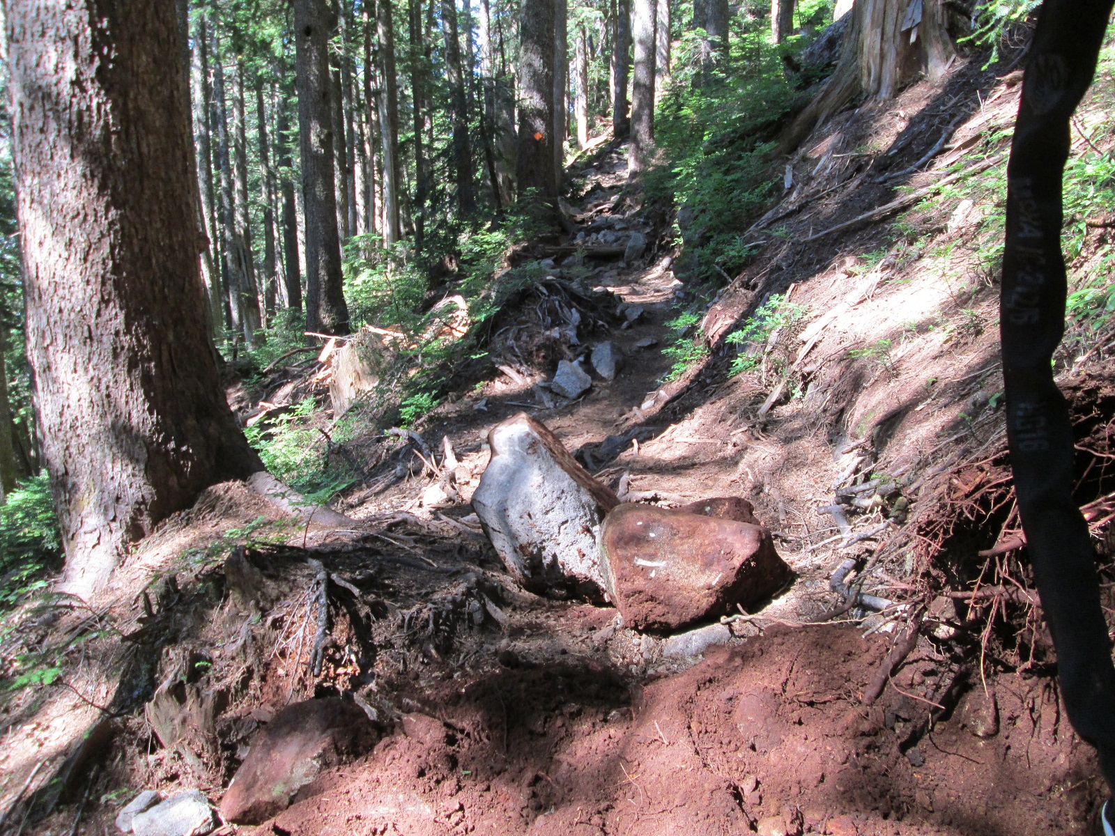
“The First Pitch”  looking up

The Pitch LU #2         The Pitch LU #2A

Before                                                                            & After

The Pitch Aproach LU #1         The Pitch Aproach LU #1A

Shicane LU #1         OLYMPUS DIGITAL CAMERA


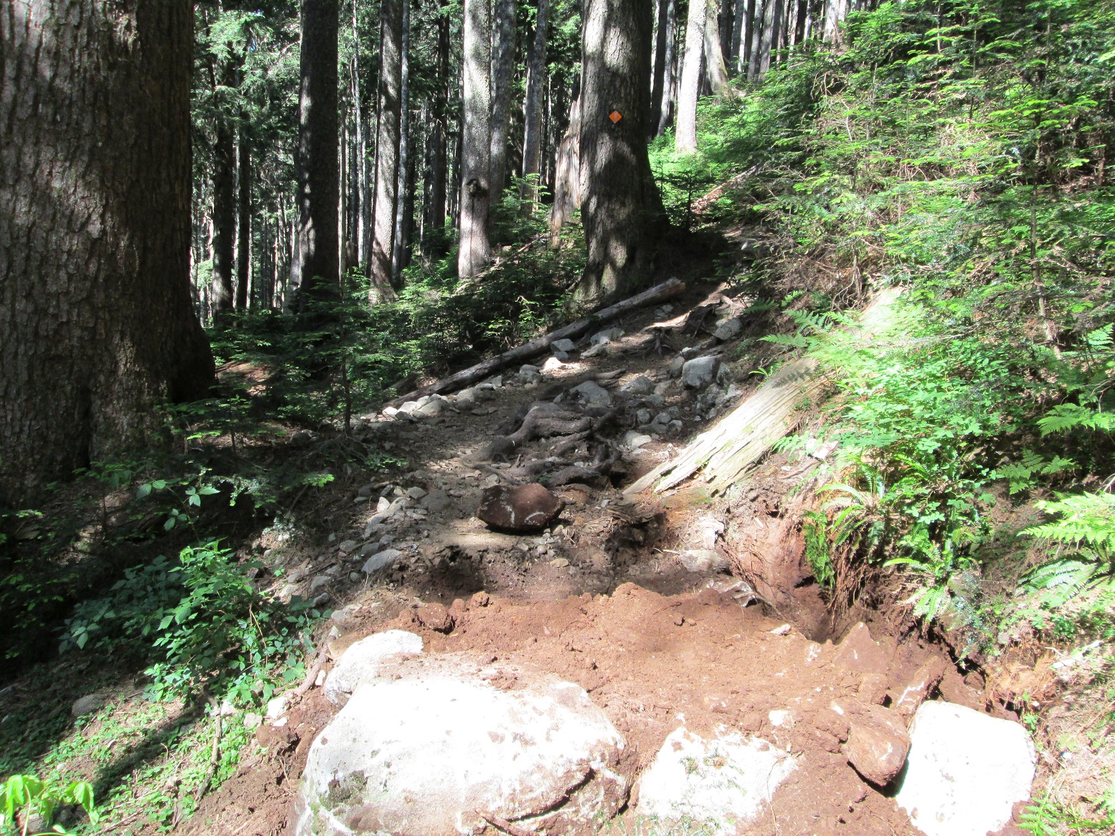
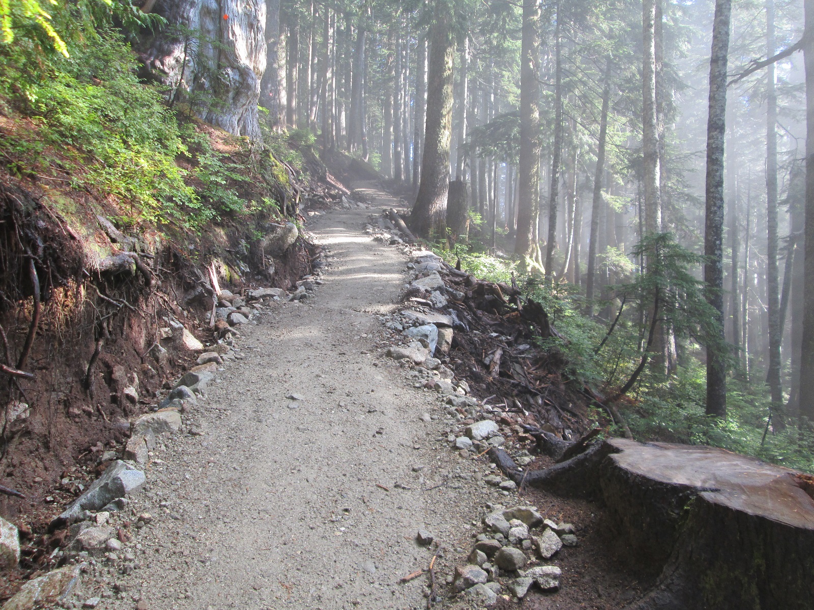
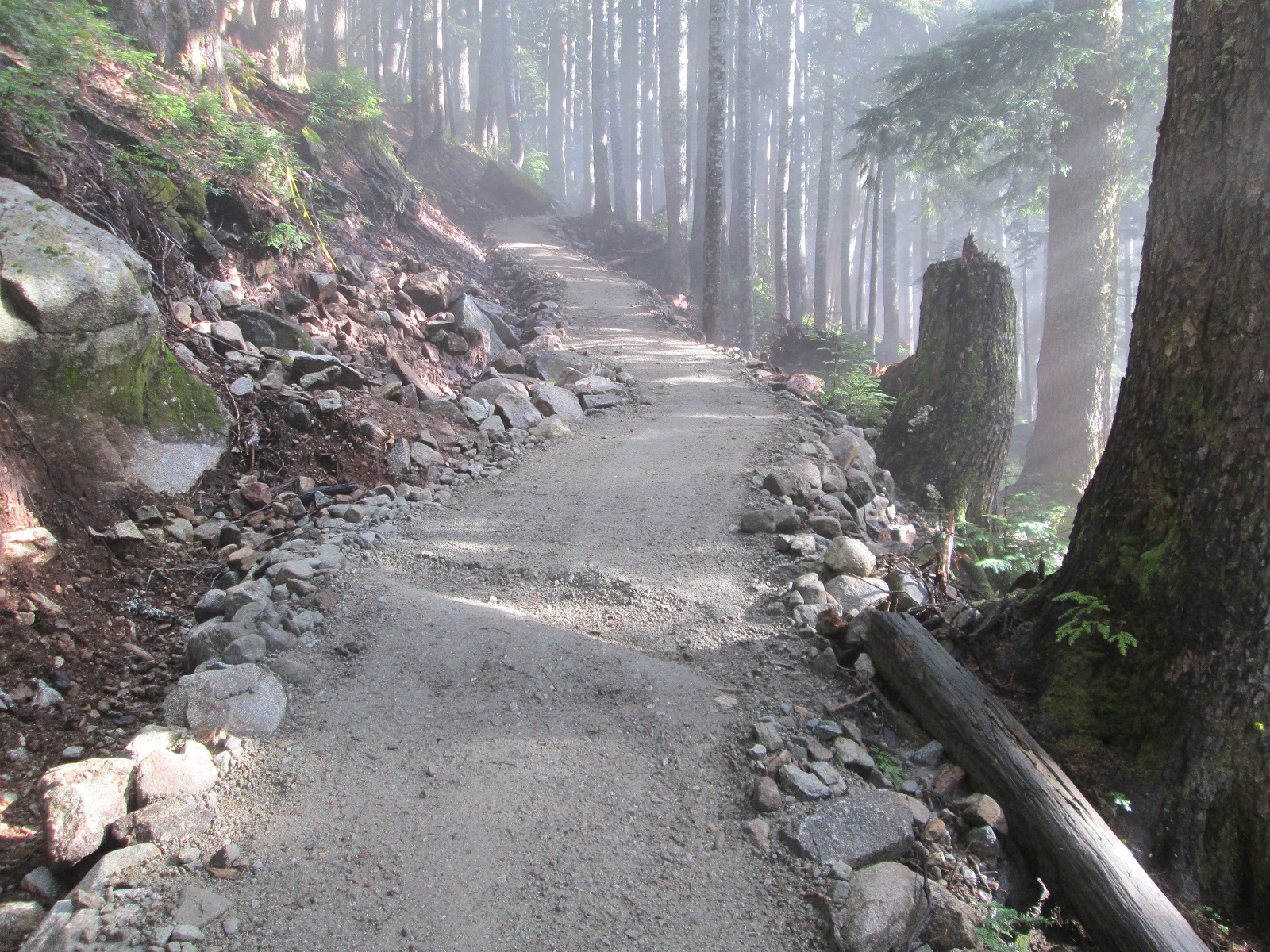
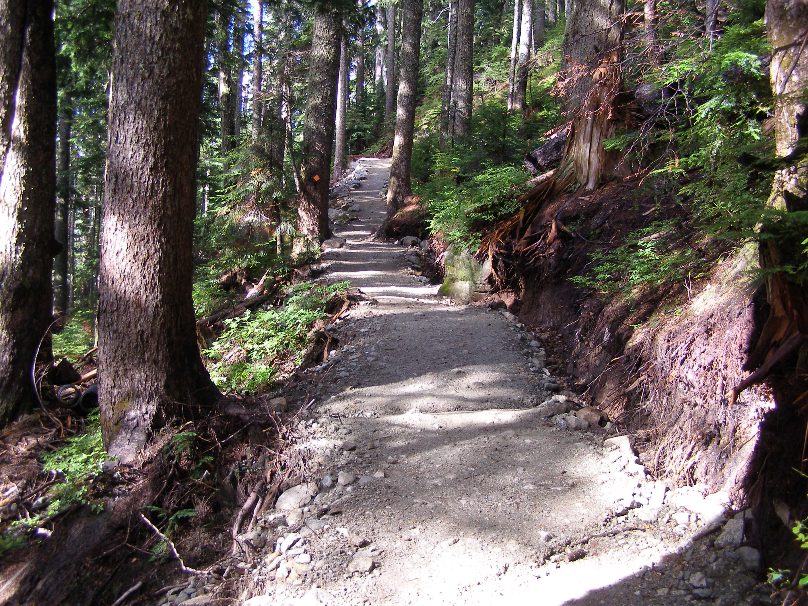
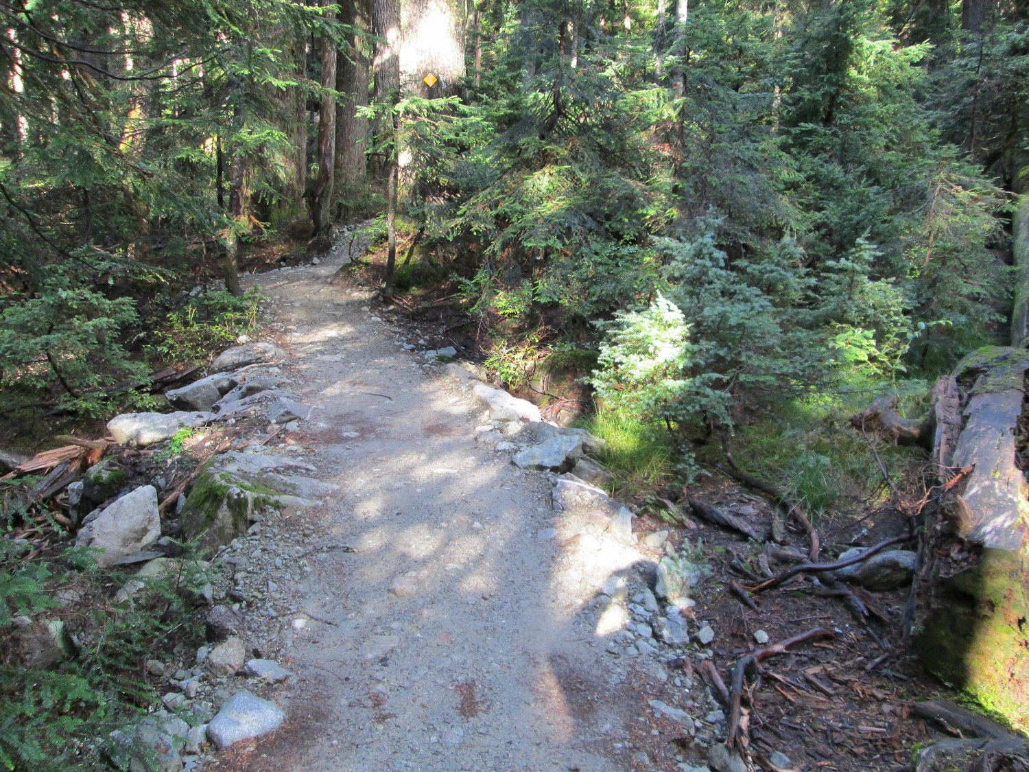
Approach to St Marks  looking up

Aproach to St Marks LU #1          OLYMPUS DIGITAL CAMERA

Before                                                                           & After

Causway #2          Causway #2A

Causway #5          Causway #5A

Causway #8          Causway #8A

Causway #9           Causway #9A

Causway #11              Causway #11A


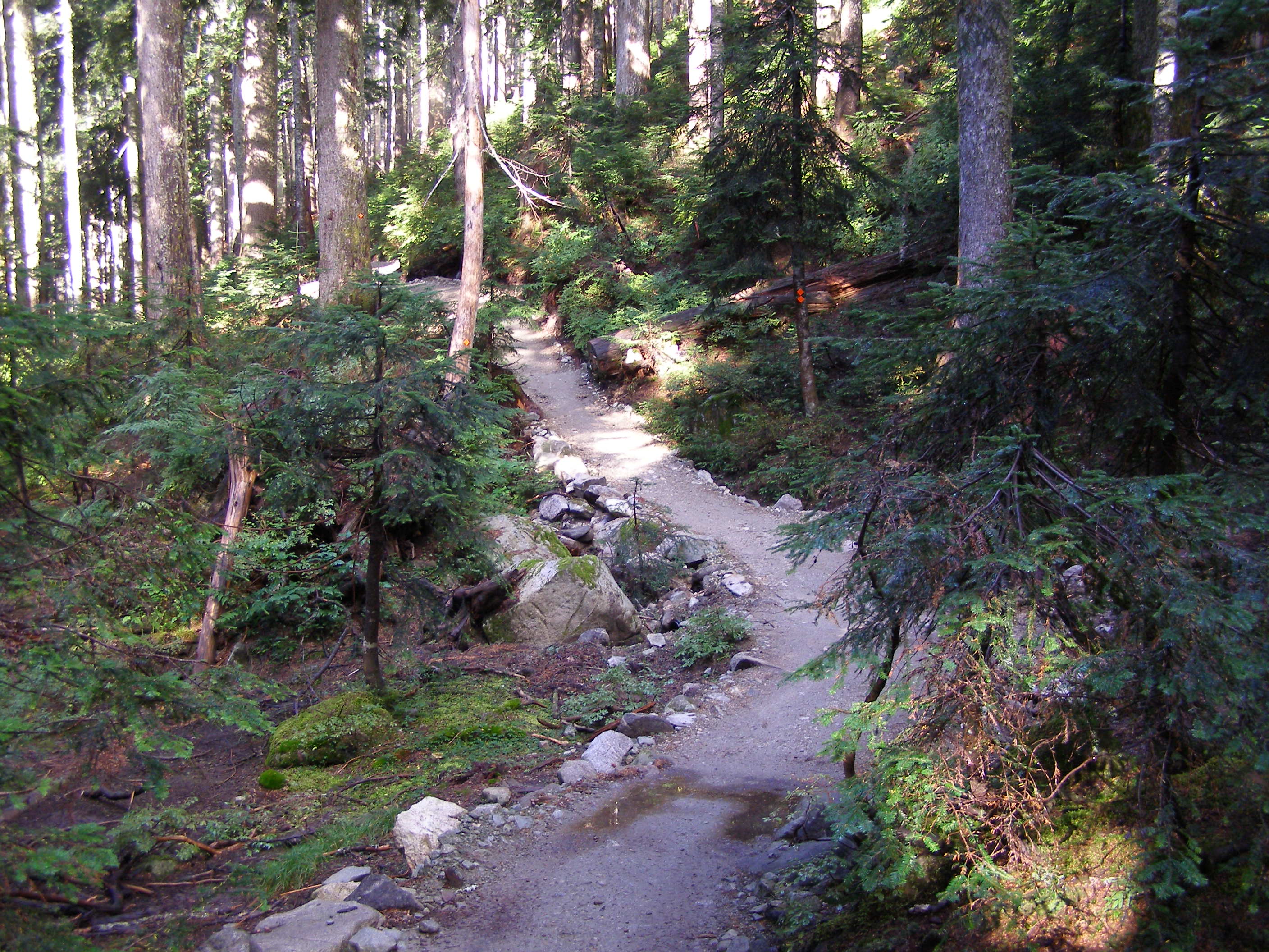
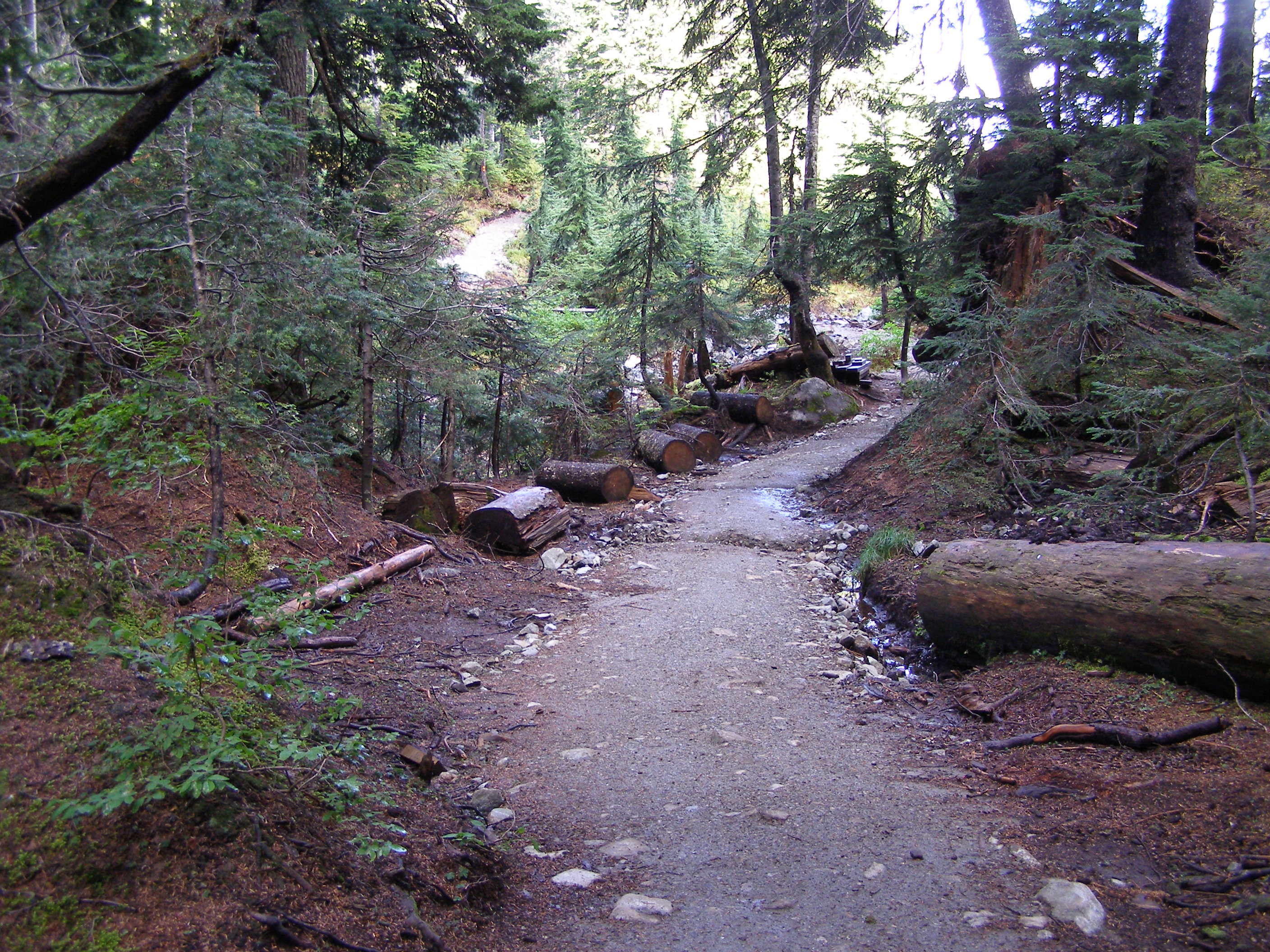
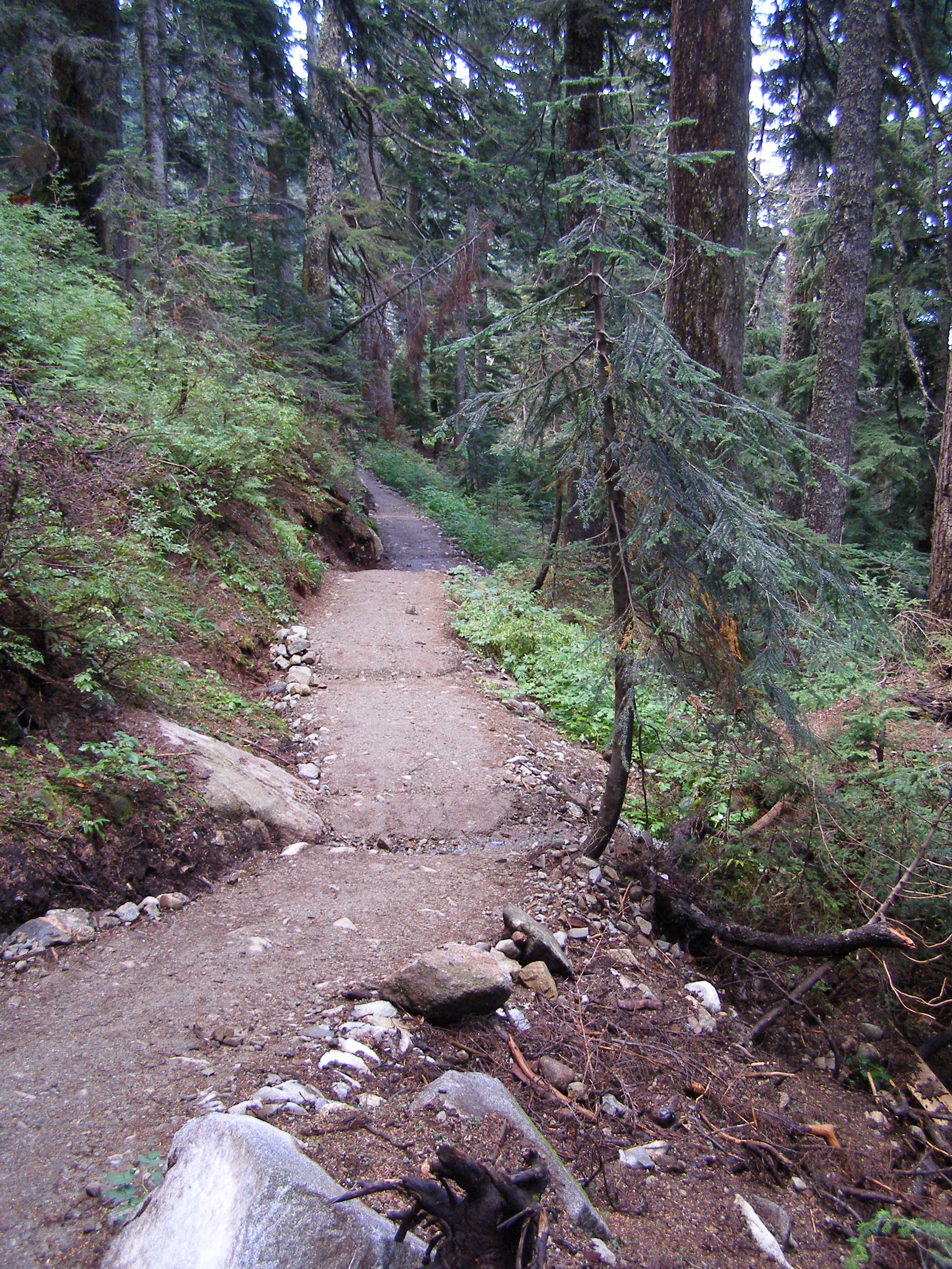
Strachan Meadows looking down to creek

OLYMPUS DIGITAL CAMERA          OLYMPUS DIGITAL CAMERA


Strachan Meadows looking up to the bridges

OLYMPUS DIGITAL CAMERA          OLYMPUS DIGITAL CAMERA


Approaching the “Big Slide Area”  looking down

OLYMPUS DIGITAL CAMERA            OLYMPUS DIGITAL CAMERA


The Big Slide Area

OLYMPUS DIGITAL CAMERA          OLYMPUS DIGITAL CAMERA

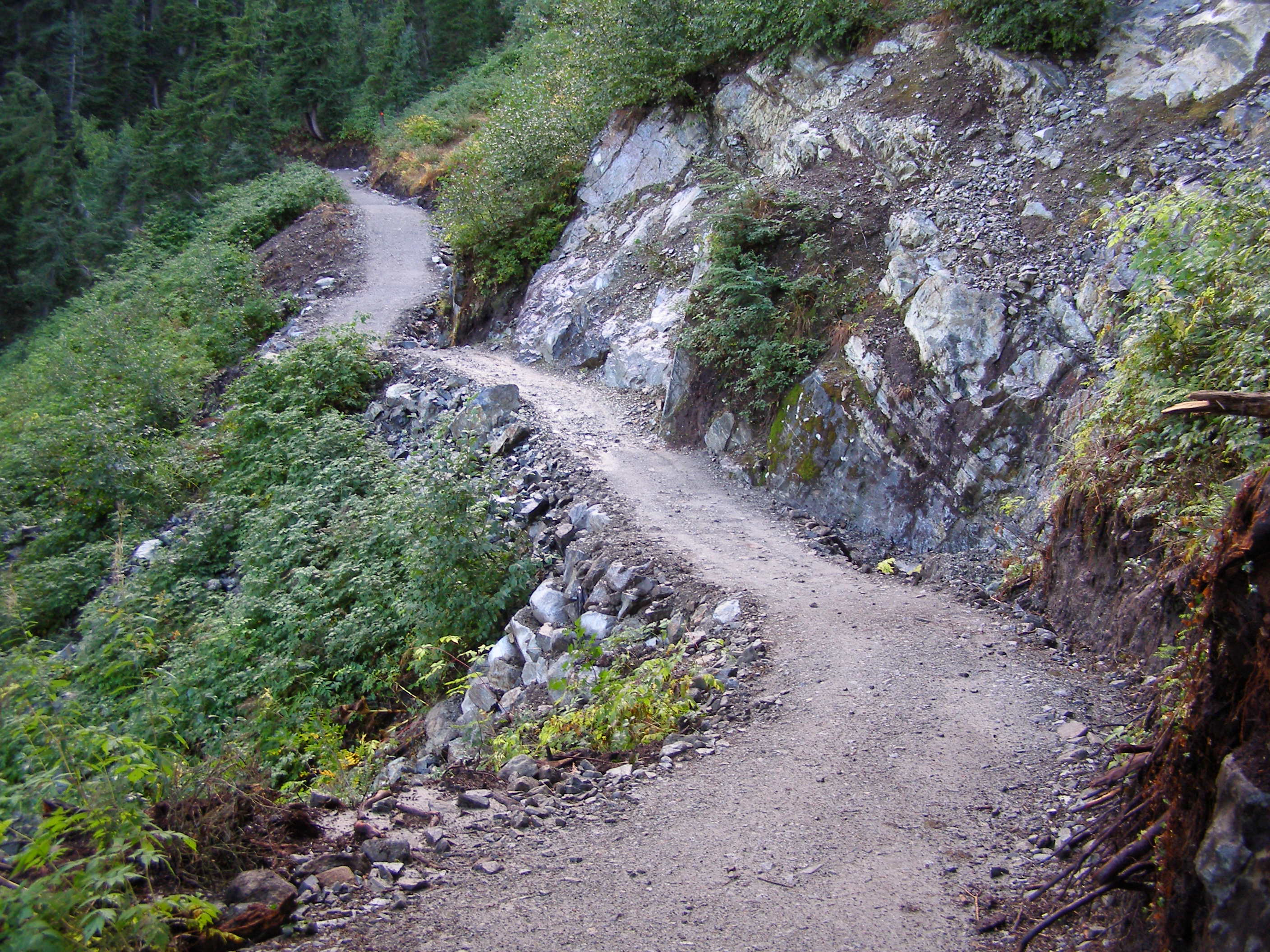
Looking down                                                             and looking up


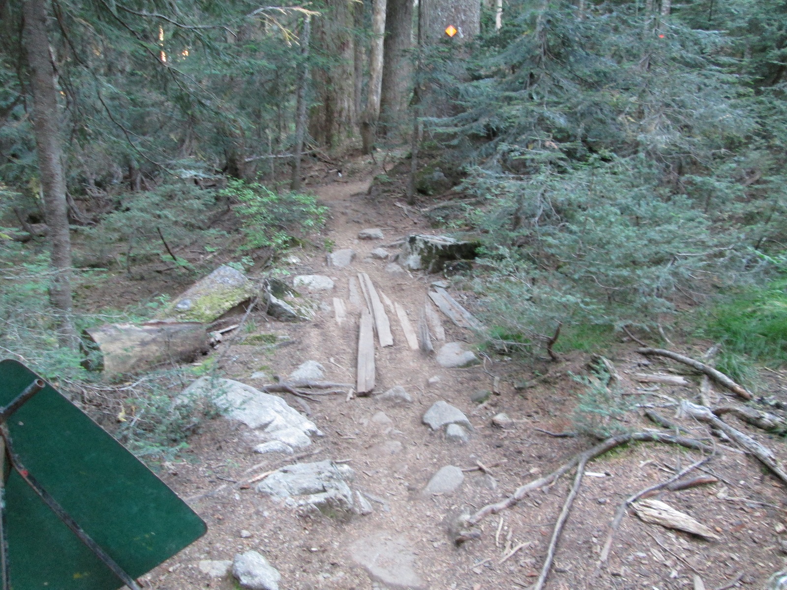
This report only covers the area of the trail upgraded by Rare Earth Recreational Developments. Very rough trail conditions exist beyond the upgraded area of trail.